On May 6, 2025, web developer Neal Argawal unveiled Internet Roadtrip, a social experiment that now sees around 900 simultaneous participants “driving” a virtual car via Google Street View by democratic vote. Every nine to ten seconds, connected users cast ballots on whether to turn left, right, go straight, honk the horn, or even switch the radio stations (sourced from live internet streams near the car’s location) and the majority decision dictates the car’s next move.
A Social Experiment on Wheels
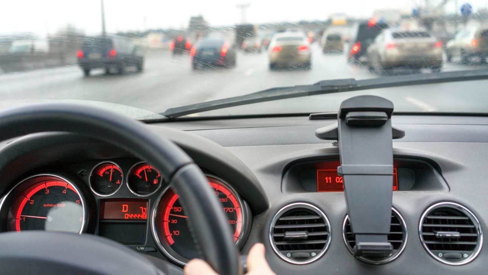
Inspired by communal gaming phenomena like Twitch Plays Pokémon and Reddit’s r/place, or the most popular casino games, Internet Roadtrip transforms Google’s panoramic imagery into a shared road-trip simulator. Upon loading neal.fun/internet-roadtrip, participants find themselves at the wheel of a virtual car, complete with a miniature steering wheel animation and on-screen arrows indicating navigable directions.
Votes are tallied approximately every nine seconds, and the winning option is clicked, moving the car forward at about 3 mph, or a few feet per cycle. Alongside directional choices, users can vote to honk the horn (an option that remains surprisingly unpopular), and to switch radio stations, with each station streamed live from local broadcasters of the region that’s being traversed.

With a live mini-map displaying a red trail of the journey so far, the interface also shows real-time statistics: drive count, vote tallies per option, and an odometer tracking the cumulative miles driven. A built-in Discord channel further amplifies community interaction, where debates about the route and screenshots are shared.
From Boston to the Border
The road trip started in Boston, Massachusetts, and within a few days, it crossed Portland to reach the coastal town of Freeport, Cumberland County, Maine. Early on, a vocal faction on Discord rallied to steer the car towards the Canadian border, highlighting the expermient’s democratic power, even when that means repeatedly oscillating between left and right at complex intersections.
As participants navigated highways, small towns, and rural backroads, student-run radio stations, such as WMUA (Amherst Massachusetts) and WBOR (Brunswick, Maine), decided to join the fun: one road-tripper dialed into WMUA to request a song, prompting DJs to marvel, “this is so cool”, while WBOR allowed listeners to curate live playlists as the car passed through their coverage.
Beyond simple navigation, Internet Roadtrip lets users “time travel” through Street View’s 80 years of archived imagery, pausing to admire historical scenes at each vote cycle.
Agarwal has hinted at future possible enhancements: AI-driven route suggestions based on users’ personal photos is in development, and in a more ambitious long-term vision, remote-controlled real cars for truly physical collaborative road trips might be an option.
Despite its playful charm, the project faces a few limitations: Google Street View coverage gaps exclude regions such as Alaska and parts of Canada, constraining exploration to contiguous North America. Community debates have already sparked warnings that the chat “may become a trash fire at some stage”, as traffic slows and diverging agendas collide.